By Rich McKay and Brendan O’Brien
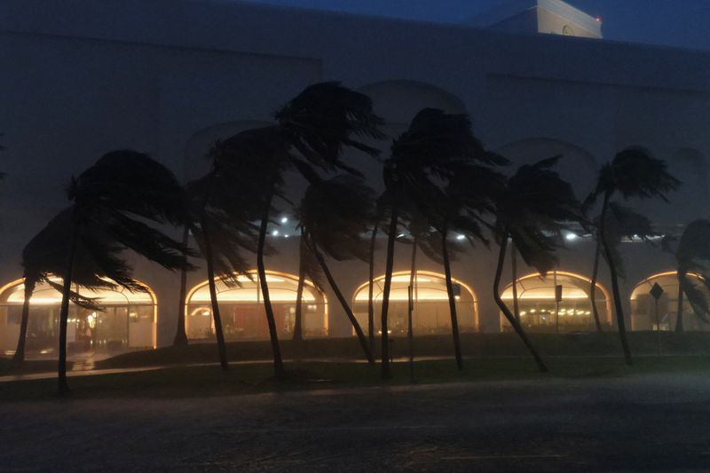
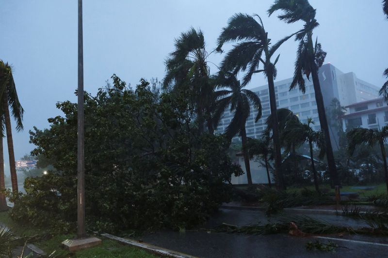
(Reuters) -Tropical Storm Helene was poised to become a hurricane on Wednesday as it rapidly intensified in the eastern Gulf of Mexico, threatening to bring life-threatening storm surge to Florida within the next two days.
More than 40 million people in Florida, Georgia and Alabama were under hurricane and tropical storm warnings as Helene barreled northwest, near the coast of the Yucatan Peninsula, the National Weather Service said on Wednesday.
Numerous evacuations are being ordered along Florida’s Gulf coast, including Sarasota and Charlotte counties, and dozens of counties have announced school closures, including Hillsborough and Pinellas counties.
With weather reports playing on her television in the background, Melissa Wolcott-Martino, a retired magazine editor in St. Petersburg, was busy packing on Wednesday before evacuating her one-story coastal home and heading for higher ground.
Hours earlier, she had finally finished repairing the damage from last year’s Hurricane Idalia, which clobbered the low-lying area with powerful winds and devastating flood waters.
“We had Idalia last year,” the 81-year-old told Reuters by telephone. “We just finished the renovations, last touches today, and now we’re packing up for a new storm. This is not so great.”
Pinellas County officials ordered evacuations of long-term healthcare facilities, including nursing homes, assisted living centers and hospitals near the coast. The county sits on a peninsula surrounded by Tampa Bay and the Gulf of Mexico.
“Now, you still have time to prepare, review your hurricane plan, and make sure that you are executing your hurricane preparedness plan,” Gov. Ron DeSantis said in a Tuesday press briefing.
Helene was packing wind speeds of 70 mph (160 kph), just shy of hurricane force. Helene was predicted to become a hurricane later on Wednesday as it travels over the warm Gulf waters, the center said.
It was estimated to become a Category 3 storm – with winds of at least 111 miles per hour (178 kph) – before it makes landfall on Florida’s Big Bend region south of Tallahassee on Thursday, forecasters said.
The storm was expected to produce a dangerous 15-foot (4.6 m) storm surge. It was also expected to dump up to 15 inches (38.1 cm) of rain in some isolated spots in the region, causing considerable flash and urban flooding, the National Hurricane Center said.

“It is going to be a big storm,” NHC Deputy Director Jaime Rhome said at a press briefing on Tuesday. “It’s going to push a big swath of storm surge across the western portions of the Florida peninsula. This area is really, really vulnerable to storm surge.”
Residents in the potential path are being told to prepare to be without power for up to a week, Florida emergency officials said in a briefing.
This post is originally published on INVESTING.


